

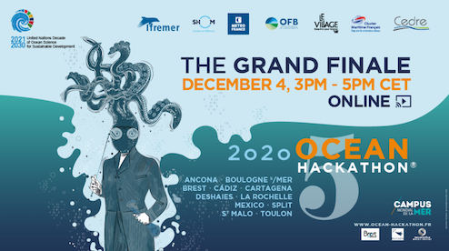
Ocean Hackathon - The Grand Finale avec le LIENSs !
La Rochelle, France
App for maritime navigation
Village by CA Charente-Maritime Deux-Sèvres
Knowing the depth at all times under your boat is a precious piece of information for pleasure boating, whether for leisure (fishing, ...) or to compare the depth with your draught. However, for economic reasons, many boats do not have a depth sounder (day cruising or light sailing for example). The objective of this mobile application is to offer an alternative to the use of the depth sounder, free and easy to use. The aim is to provide navigators with information on the depth and tidal current where they are in the Pertuis. A water height prediction is made thanks to the GPS position of the smartphone, in real time. This prediction is based on the use of a regional tidal atlas, itself elaborated thanks to a hydrodynamic model developed within the framework of a thesis carried out at the Laboratoire LIENSs (University of La Rochelle).